Loading…
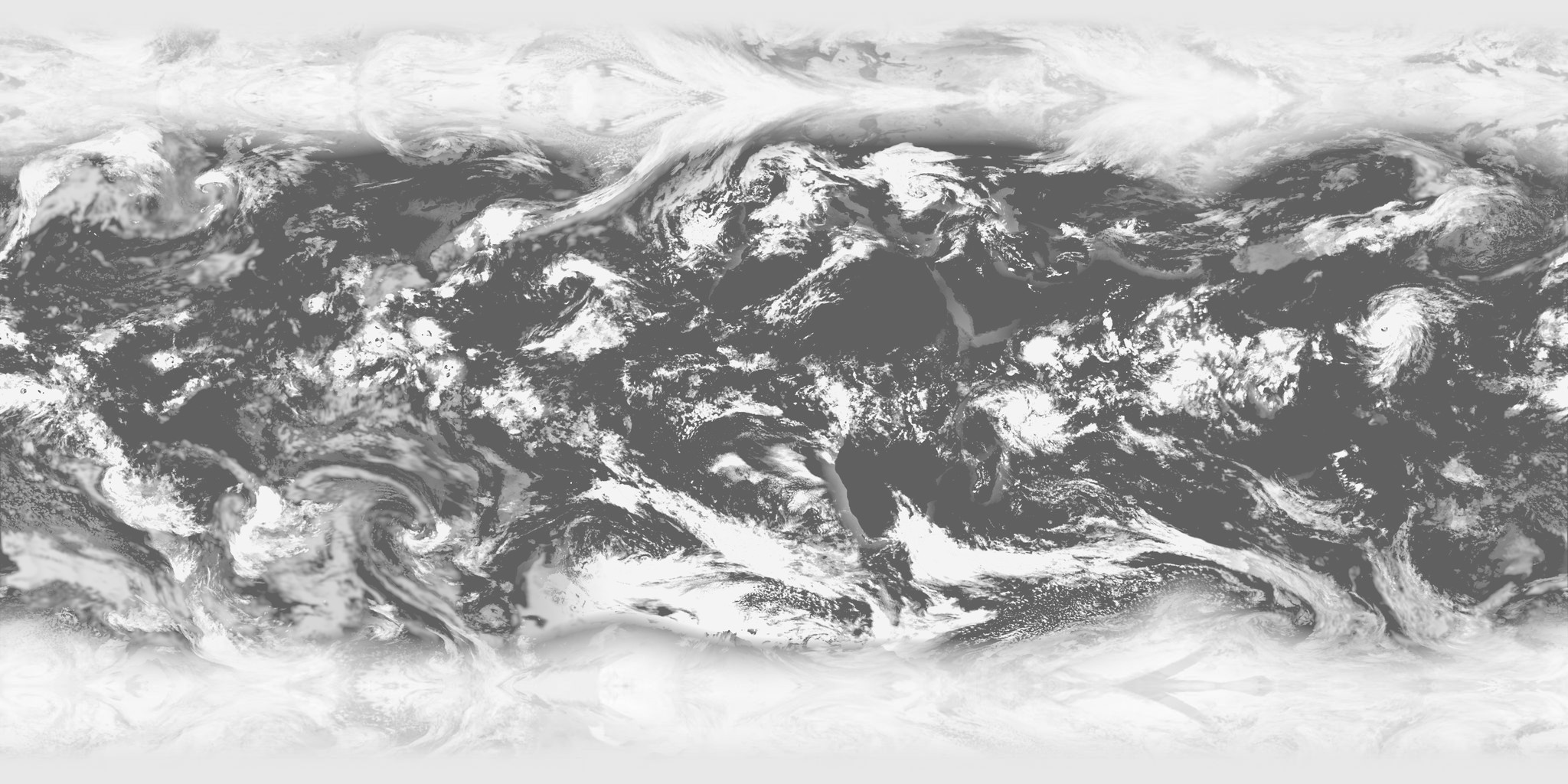
Five geostationary satellites (GOES-East, GOES-West, Himawari, Meteosat MTG 0°, Meteosat Indian Ocean), stitched every 10 minutes:
infrared cloud-top temperature against a terrain-corrected and sea-surface-temperature clear-sky reference, plus visible light by day for low clouds.
Files: clouds_4096.jpg, clouds_2048.jpg, flow.png (motion), meta.json. Used by Earth.
Contains modified EUMETSAT data. NASA GIBS (GOES via NOAA, Himawari via JMA). GHRSST MUR sea-surface temperature. SRTM elevation.